A harsh truth: as bad as North American wildfires have grown over the past several years, things are only going to get worse. Climate change continues to accelerate the issue, putting people, property, nature and animals at risk.
Drones have been a fixture in the fight for over a decade now, and the Fire Apparatus Manufacturers’ Association anticipates its fleet to increase to 30,000 by next year. While effective, however, these systems certainly have their limitations.
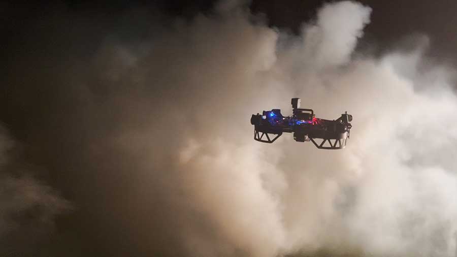
“As of now, the military-grade drones used by those fighting wildfires are high-altitude aircraft that fly far above the trees,” Carnegie Mellon University PhD student Andrew Jong notes. “They can’t fly low because they can’t see through smoke. We want to fly just above the trees or even below the canopy.”
Researchers at CMU’s Robotics Institute are building drones capable of navigating through the smoke, providing firefighters with map and escape routes, while drawing attention to danger zones.
Retired firefighter Josh Wilkins, who is collaborating with researchers on the project, notes somberly, “I helped bury too many folks who died for lack of actionable information.” He adds that firefighters are often provided 12-hour-old information when they begin their eight-12-hour shifts. By that point, the information is outdated and poses a very real risk to first responders.
The project builds on research for CMU’s DARPA Subterranean Challenge, which revolved around underground navigation for mine rescues. The forest drones utilize path finding to determine the optimal trajectories with obstructed views. The goal is to effectively build a 3D “digital twin” of the impacted area as quickly as possible.
Wilkins notes, however, that his former colleagues can be hesitant to embrace new technologies. “There’s always resistance, particularly in the fire service,” the second-generation firefighter explains. “But once we show them the safety factors that have been designed into these systems and the good data that we can collect with the drones, I think we’ll win them over.”


